
English| EUR
Suggested for you
More currencies
Choose a language
The journey south from Ecuador's capital shifts dramatically from high Andean plains to lush cloud forests. Utilizing a practical how to get from quito to banos guide ensures a smooth arrival at your final destination along the Pastaza River.
Quick answer
The most direct transport method covers approximately 190 kilometers south along the Pan-American Highway, taking three to four hours by road. Travelers typically depart from Terminal Terrestre Quitumbe in southern Quito or use private transport down the Avenue of the Volcanoes to reach Baños de Agua Santa.
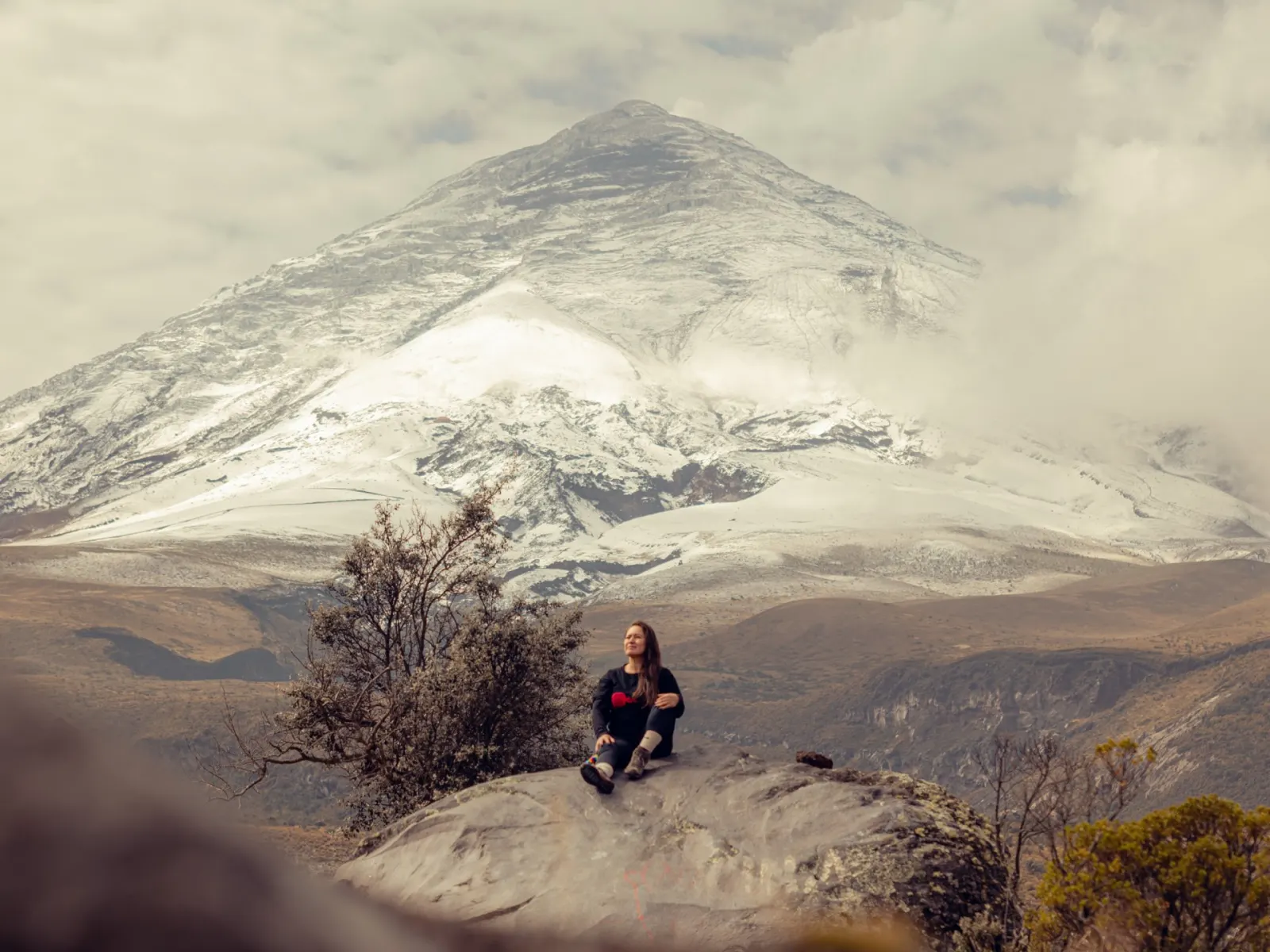
Understanding how to get from quito to banos involves mapping a route through one of South America's distinct geographical transitions. Leaving the sprawling urban grid of Ecuador's capital, the elevation steadily drops as the road winds south through the Andean highlands. This corridor, often referred to as the Avenue of the Volcanoes, is flanked by glaciated peaks like Cotopaxi and the Illinizas. The climate shifts noticeably during this transit. The crisp, thin air of the high altitude gradually gives way to the heavier, moisture-rich atmosphere of Tungurahua province. Travelers making this southward push watch the landscape morph from dry, windswept paramo into dense, subtropical vegetation that signals the approaching Amazon basin. Upon arriving in Baños de Agua Santa, the sheer canyon walls of the Pastaza River dictate the layout of the town and its surrounding attractions. The settlement sits nestled at the base of the active Tungurahua volcano, serving as the primary staging ground for deeper exploration into the cloud forest. Most visitors transition quickly from their arriving transport to local transit heading east toward the Ruta de las Cascadas. Here, the heavy water flow of the Pailón del Diablo waterfall cuts through the rock. Navigating from the central bus terminal or private drop-off zones to these trailheads requires a shift in pace, moving from highway speeds to steep, narrow canyon roads. Arriving early in the morning, specifically between 09:00 and 10:00, allows visitors to reach the falls before the heaviest foot traffic converges on the narrow suspension bridges and stone stairs. Properly planning the logistics of a Quito to Banos day trip requires factoring in mountain weather and winding road conditions. Rain frequently slows down the drive, especially where the highway narrows near the canyon entrance. While the physical distance is relatively short, the changing topography demands attention to road updates and departure timing. Utilizing a reliable route plan helps structure the day, ensuring enough daylight remains to navigate the waterfall trails safely. By securing transport from the capital's southern hubs, such as Terminal Terrestre Quitumbe, travelers establish a solid foundation for their excursion. Ultimately, mastering the specifics of how to get from quito to banos secures more time on the ground to inspect the rushing waters of the Pastaza canyon and the towering rock faces of the cloud forest.
“The crisp, thin air of the high altitude gradually gives way to the heavier, moisture-rich atmosphere of Tungurahua province.”
Travelers departing from Quito to Baños de Agua Santa typically depart from the Quitumbe Terrestrial Terminal in the southern part of the city. The journey connects the capital to the gateway of the Amazon via well-maintained national highways.
Quitumbe Terminal to Baños Terminal via E35
Direct transfer via E35
Rental via E35
For the Pailón del Diablo, the site is located at the Address: Ruta de las Cascadas, Río Verde, Baños de Agua Santa, Ecuador. Plan to arrive between 09:00–10:00 to navigate the site before peak visitor numbers arrive.
The best time to travel from Quito to Baños and visit Pailón del Diablo is during the shoulder seasons, specifically arriving at the waterfall between 09:00–10:00 to avoid peak daily congestion.
—
Visiting on Tuesday through Thursday provides the quietest experience at the falls.
Dry, 15°C to 22°C
This period aligns with dry weather but coincides with increased domestic and international travel.
Variable, 13°C to 20°C
These months offer a balance of manageable visitor numbers and accessible trail conditions.
Frequent rain, 12°C to 19°C
Expect higher precipitation, which increases waterfall volume but can make paths more slippery.
Verdict: For the best experience, plan your trip for a Tuesday to Thursday during April or October, ensuring you arrive at Pailón del Diablo during the 09:00–10:00 window.
Pailón del Diablo maintains a consistent weekly schedule to accommodate visitors traveling from Quito to Baños. The site operates daily, with extended hours during the weekend.
This itinerary outlines a logical sequence for a day trip from Quito, prioritizing a morning visit to Pailón del Diablo. The waterfall hike requires about two hours, leaving your afternoon open to explore the rest of the Baños area.
Arrive in Baños de Agua Santa and proceed directly to Ruta de las Cascadas. Heading out immediately ensures you reach Río Verde in time for the early arrival window.
Arrive at the entrance during the recommended 09:00–10:00 window to avoid heavy crowds. Begin the downward hike along the marked cloud forest trail.
Walk across the main suspension bridge spanning the Pastaza River canyon. This section takes roughly ten minutes and provides a clear vantage point of the falls.
Ascend the carved stone steps and crouch through the narrow rock fissure to stand directly beside the cascading water. The path is wet and requires careful footing.
Hike the steep trail back up to the main entrance area. From here, you can continue exploring other stops along the route or return to the Baños town center.
Everything you need to know about how to get from quito to banos
You can travel from the Quitumbe terminal in the south of Quito to the Baños bus station. Multiple companies operate this route throughout the day with a journey time of approximately 3.5 to 4 hours.
For many travelers, a private transfer or an organized tour offers the most convenience when considering how to get from Quito to Baños. Direct transport avoids terminal transfers and often includes scenic stops along the way.
From the town center, you can take a taxi, a local bus, or a tourist shuttle to the entrance at Ruta de las Cascadas. The waterfall is a major landmark located in the Río Verde sector.
Yes, the route is well-traveled by tourists and locals alike, making it straightforward to navigate. Whether you prefer public buses or private shuttles, several reliable transit options exist for those planning their trip.
The drive generally takes between 3.5 and 4 hours depending on traffic and road conditions. It is advisable to factor in extra time if you plan to stop for photos or meals during your transit.
We recommend arriving between 09:00 and 10:00 to avoid peak crowds. Visiting early allows you to experience the natural surroundings in relative tranquility before the afternoon groups arrive.
Yes, the public bus network is the most common method used by backpackers and budget travelers. Buses depart regularly from the main terminal, providing a cost-effective way to reach this Andean destination.